

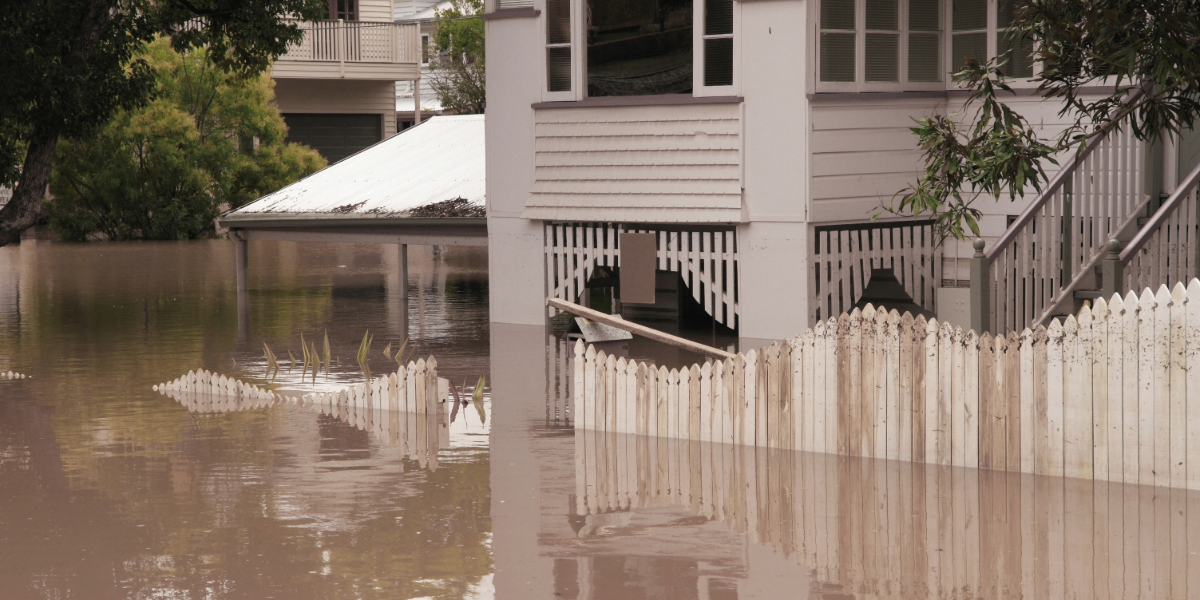
If floodwater has ever lapped at your door around Wallis Lake or the Wallamba River, MidCoast Council wants to hear about it.
The council is updating its Wallis Lake and Wallamba River flood studies and flood risk management plans, and is calling on people who live, work, or own property in the area to share what they saw.
The two existing studies and plans will be combined into one updated study and plan.
MidCoast Council Director Infrastructure and Engineering Services Robert Scott said local knowledge would be a vital part of the work.
“Your experience can help us better understand where flooding occurs and how it affects the community,” Mr Scott said.
“We’re looking for information about past floods in the study area.”
“We want to know where floodwater reached, how deep it was, and any photos or other records you may have.”
Those memories will sit alongside the technical data.
“We’ll combine what you tell us with technical information to develop the new flood study and flood risk management plan,” Mr Scott said.
Flood studies help the council understand how flooding behaves and find ways to reduce the impact of future floods.
They also help guide decisions about where and how future development can happen, and support emergency services during floods, including planning for road closures and evacuations.
NSW councils are required to prepare flood risk management studies and plans and keep them up to date.
The two-year project is funded by the NSW Department of Climate Change, Energy, the Environment and Water. The community will get another chance to review the draft study and give feedback in 2027.
Flood experiences can be shared before 13 December.
To find out more and have your say, visit www.midcoast.nsw.gov.au/flood-study
Like what you’re reading? Support North Coast Times by making a small contribution today and help us keep delivering local news paywall-free. Donate now